Home | Front Page | Blog | Index | New | Contact | Site Map
![]() Center
Center
![]() Sumner
Sumner
![]() Suburbs
Suburbs
![]() Gardens and Parks
Gardens and Parks
![]() Museums
Museums
![]() Visits and Events
Visits and Events
![]() University of Canterbury
University of Canterbury
![]() CC to Dunedin
CC to Dunedin
![]() Dunedin to Invercargill
Dunedin to Invercargill
![]() Invercargill to Milford
Invercargill to Milford
![]() Milford to Greymouth
Milford to Greymouth
![]() Greymouth to Picton
Greymouth to Picton
![]() Wellington
Wellington
![]() Wellington to Auckland
Wellington to Auckland
![]() Auckland
Auckland
![]() Nissan Serena
Nissan Serena
![]() Living Among Kiwis
Living Among Kiwis

Travel 2010
New Zealand
Tokyo
Japan
Darlington
Brussels
Vienna
Travel 2009
Berlin
German Bike Trip
Paris
Britain
Christchurch
Travel 2008
Australia
Britain
Paris
Basel
Berlin
Travel 2007
Sydney
Paris
Britain
USA
Canada
Australia 2007-08
Travel 2006
Greece
Turkey
Thailand
Malaysia
Indonesia
Singapore
Travel 2005
Berlin
Paris
Moscow
Russia
Athens
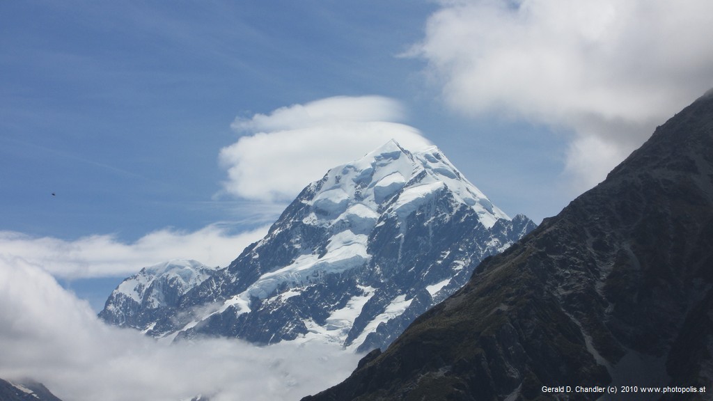
Mt Cook (3754 meters) from near Cook Village |
If you were in Christchurch, as we were, and you wanted to get to Dunedin the simple and direct thing to do would be to take State Highway (SH1), the coast road, south. That's about 360 km (225 miles) and would take a New Zealander about 4 hours and a sane (or at least more cautious person than the average Kiwi) about 5 hours, or even six with a stretch and coffee break.
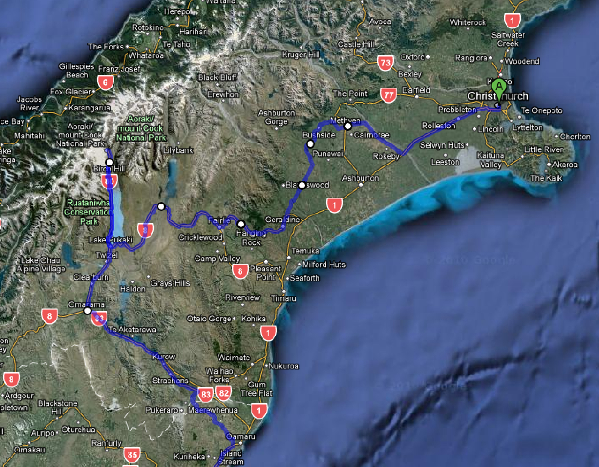
Highway route Christchurch-MtCook-Oamaru |
We did it even slower, taking 11 days. You'll have devined that we didn't take the direct route and that we streched our legs considerably more than once. We did about 700 km (or the double of the direct route) so that we could take in the great Canterbury hydro-electric lakes and visit Mt Cook with its glaciers and lakes. We are definitely SLOW travellers. We like to spend no more than two or three hours a day driving and like to have time left over during the day to read or just sit around and admire the scenery.
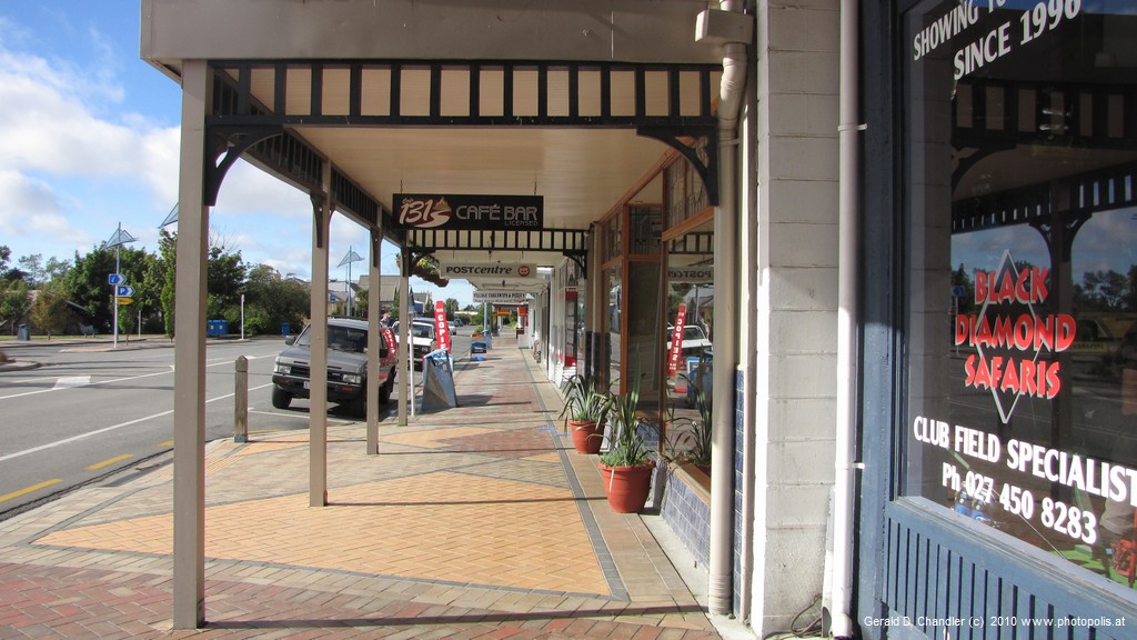
Downtown Methven |
Methven - Mt Hutt Ski Area |
Our first destination was the small town of Methven in the hills inland from Christchurch, a stepping stone to the great Mount Cook. At first we thought that we might not even make it that far before our first nightfall. We didn't get out of Christchurch until nearly noon because of our penchant for immitating sloths (Jan in speed; Gerry both ways) and because of last minute shopping and banking. Before we got there Methven was just a name on the map; by the time we left we knew it as both the quintessential small New Zealand town and the gateway to the closest skinging to Christchurch, Mt Hutt. Not long after we got our first relatively close-up view of the snows on the Southern Alps. (We'd had magnificent views as our flight approached Christchurch ten weeks earlier at the near-end of the southern hemisphere spring.)
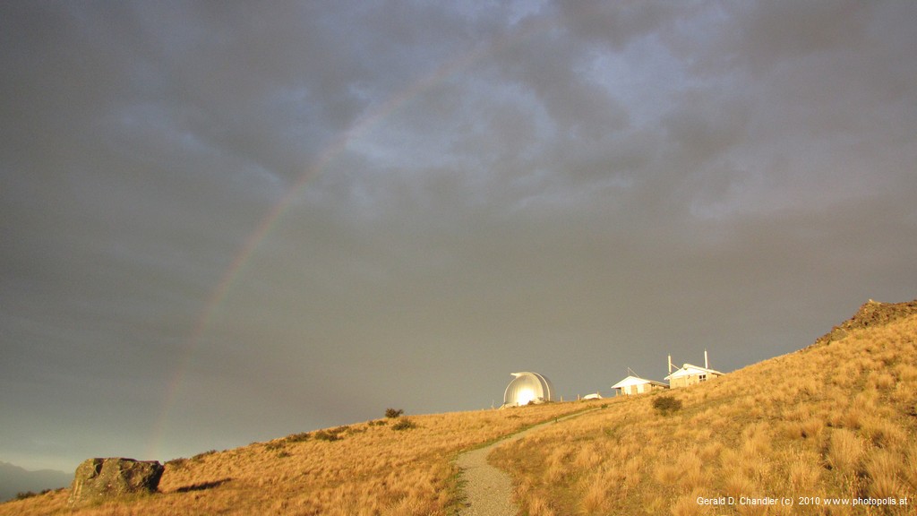
Mt John Observatory under rainbow |
From Methven we drove on to the southern tip of Lake Tekapo to get to Mount John on a bluff above the lake, to visit the Mt John Observatory. an outpost of the University of Canterbury. One of our delays in Christchurch was an unexpected chance to talk with our Sumner landlord, a professor at Christchurch's University of Canterbury. He told us that we might be able to stay at the Observatory and made for us the needed phone calls and introduction. As the saying goes, we might never have known what we missed: We got fabulous daytime views from the peak, but sadly in our two nights didn't manage to get any hint of a starry starry night. We did get a great sunset walk around the peak, and an interesting tour of the telescopes they have up there, but no night time viewing alas. We can also thank the American government for some of our comfort: The first dorms on the site were pretty primative but when Uncle Sam installed a team to do secret tracking work he also installed heating and insulation.
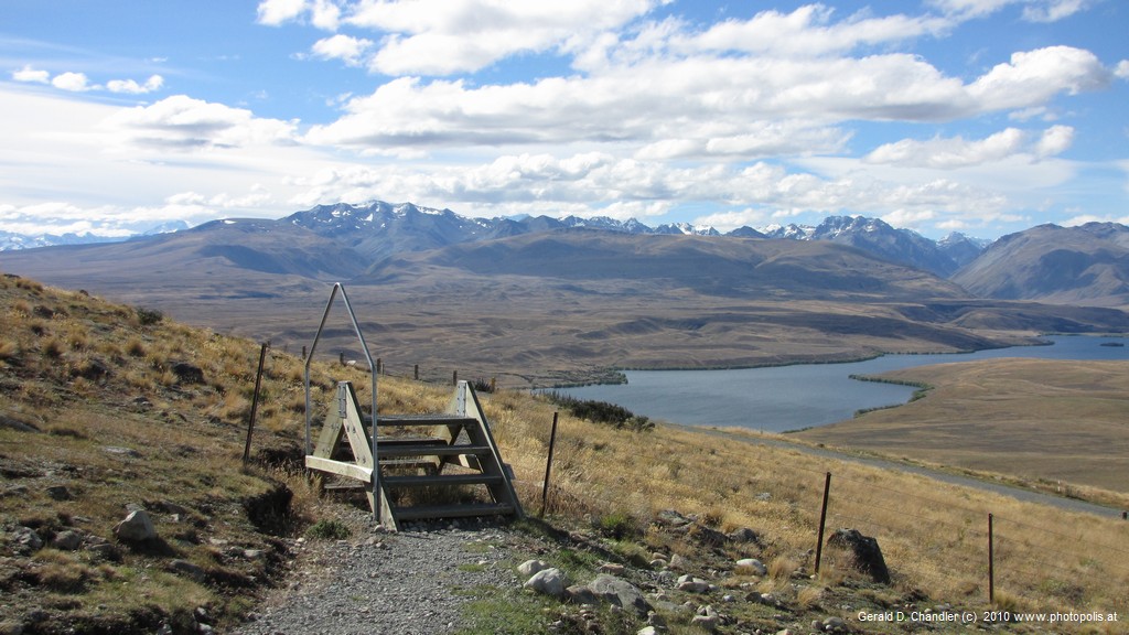
Lake Tekapo (part) and Southern Alps from Mt John |
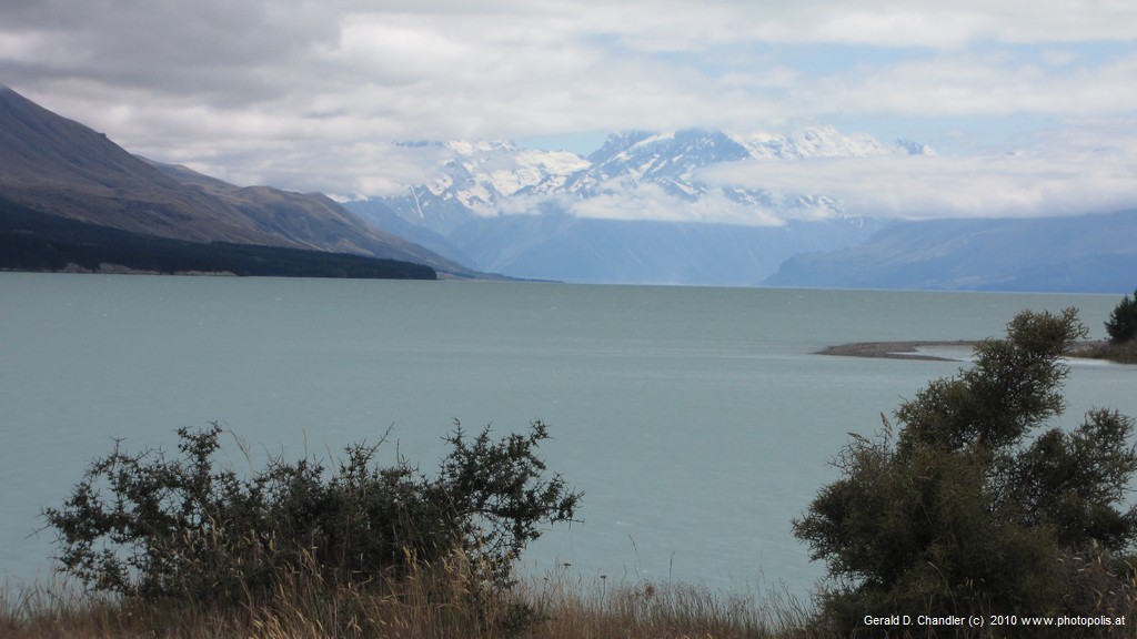
Lake Pulaski and Southern Alps |
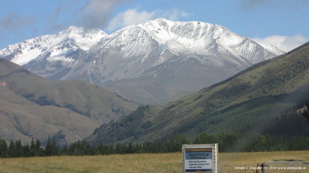
We left Lake Tekapo to head for the southern tip of another great lake, Lake Pukaki. From a viewpoint at the southernmost tip of the lake we got our first glimpse of mighty Mt Cook (3,754 m, 12,316 ft) and the other high peaks of the Southern Alps. Even though with the naked eye they looked more like pimples than mighty peaks, we were still excited. The waters of Lake Pukaki, like those of Lake Tekapo, are a rather eerie but gorgeous turquoise color. We quickly learned that it is caused by suspended "rock flour", i.e. the dust from eroded rocks. Here we turned our Nissan Serena north and drove along the west shore of Lake Pukaki until finally leaving it behind to drive on into Aoraki/Mt Cook Village. The simple traditional name, Mt Cook, was not good enough for those who look to an even older Maori tradition. Call it poltical correctness or generousity or guilt double-barrelled names, consisting of a Maori and an English name, now apply to most things the government touches.
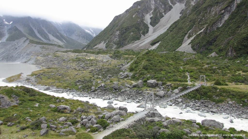
Start of Hooker Valley Walk under Mt Cook |
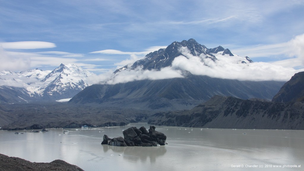
Tasman Glacier and lake with Mountains in Rear |
Mount Cook was a definite high point (ugh!) although we didn't attempt to do anything more than the shortest of short walks because we wern't in shape and would never try true mountaineering. We did get some spectacular sightings of Mt Cook, the highest peak in NZ, and were happy to do so. We got great views at lunch just after arrival but in the afternoon the weather started to sock in. We took our first walk that afternoon, to Kea Point, in fine drizzle that ended in rather solid rain. Our next day, however, was a little brighter and gave Jan the chance to see her first glacier at the end of Hooker Lake after an hour and a half hike. Sadly, Gerry's knee made him turn back after an hour. It's hard to express our views of the countryside. It is magnificent and majestic but oh so gray! The exceptions are the delightful mountain flowers and when the sun shines — quite an exception when we were there — the sparkle of the glacial lakes. The next morning, our last in the area, after a short climb up to a point that overlooks the Tasman Glacier Lake, the clouds seemed as though they were starting to lift. Sure enough, a hole in the clouds opened and having glimpsed Mt Cook through it (see top picture on this page), we drove over to the official lodge to sit on their balcony again and eat lunch with possibly the best view in the country before us.
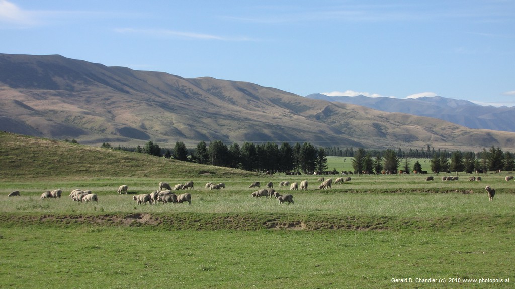
Buscot Station Sheep |
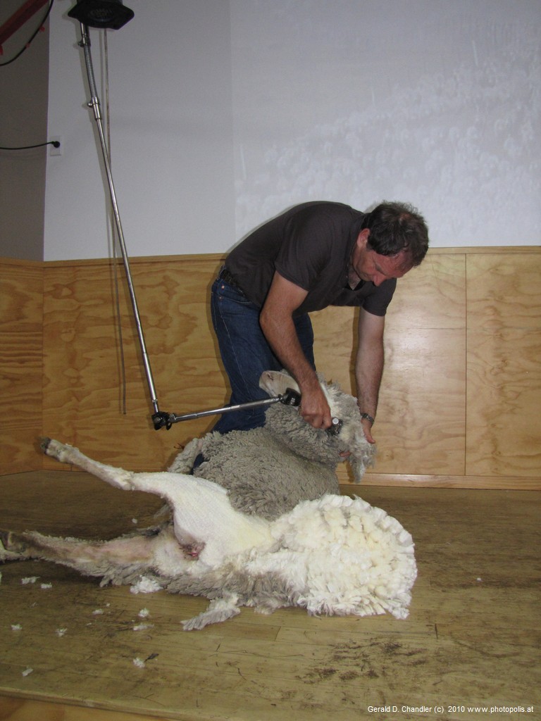
Wrinkly Sheep Shearing |
From Mount Cook we moseyed through the McKenzie high country, spending a very pleasant couple of nights on the Buscot Station backpacker , farm, where we tried out our tent for the first time and found that the combination of our nice foam mattress from the back of the van and our roomy 4-man tent gave us some of our most comfortable nights' sleep on the whole trip. The warm weather and quiet country surroundings helped. And from our host we got lots of info about the hazards of sheep and cattle farming in the high country. The next day in the nearby town of Omarama, we got ourselves a close-up look at sheep shearing at the Wrinkly Rams, which was something that Jan had long wanted to do. We also got an impromptu demonstration of sheepdog working and ate a good meal afterwards on their terrace.
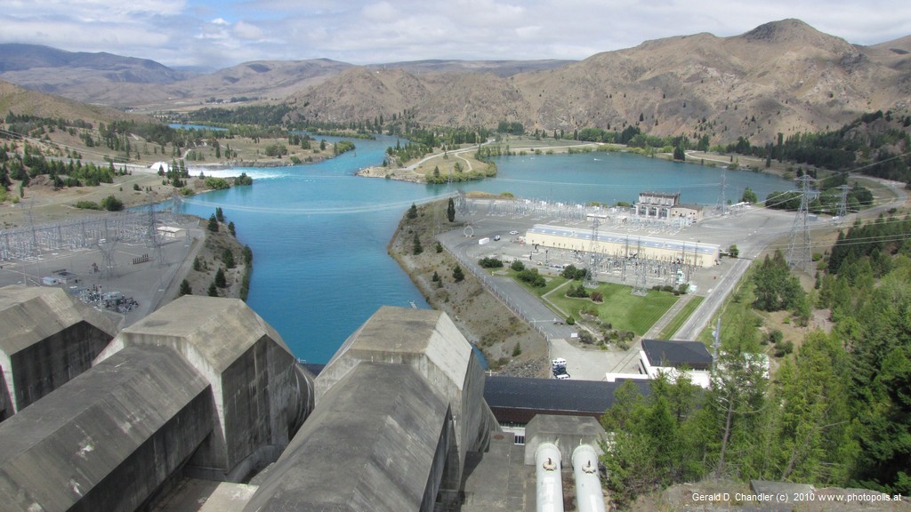
Benmore Dam Spillway |
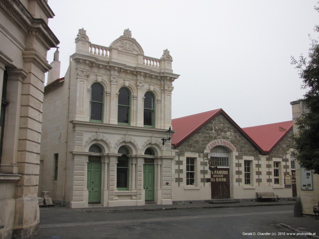
Oamaru 19th Century Buildings |
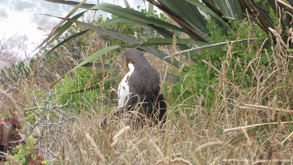
Bushy Beach Yellow-eyed penguin |
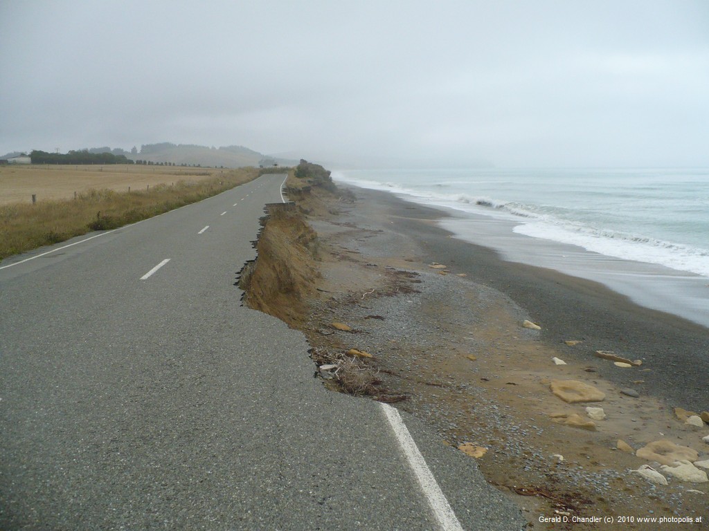
Road Closed. Wide Bike Path |
Then it was on past Omarama and the Benmore Dam back to the east coast to see the small town of Oamaru. Oamaru was once the biggest town in New Zealand (an exageration but it seems many a town makes that claim) or at least once was bigger than Los Angeles because of its once mighty frozen meat exporting industry. (Every port and even some mountain villages claims to be been the orginator of the frozen mutton industry.) Whatever the truth or no matter how garbled we got the story today Oamaru's chief claim to fame is that it has a terrific collection of 19th century buildings and is the first place on the southern route that one can see penguins. We enjoyed our encounters with both, particularly the tiny blue variety of penguins (which we saw come ashore at dusk. Sorry -- no flash photos allowed, so no photos. We stayed 6 km south of Oamaru at the terrific Old Bones Backpackers Lodge; once we bicycled into town and on another day we rode over to visit Clarks Mill,; an old flour mill that has been saved from destruction by a small group of dedicated fans, accompanied by Bronwen whom we met at Old Bones.
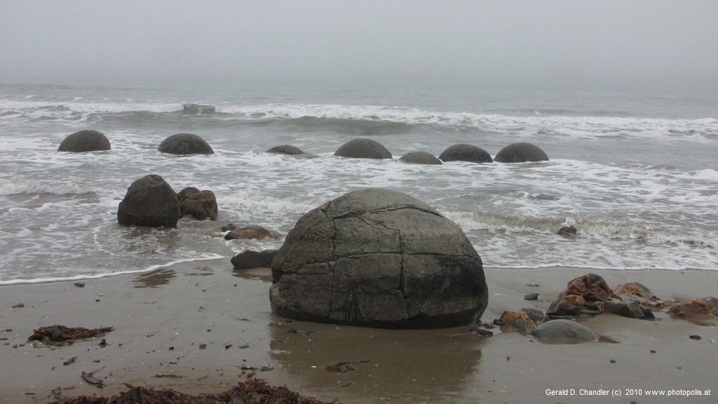
Moeraki Boulders |
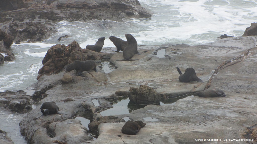
Shag Point Seals |
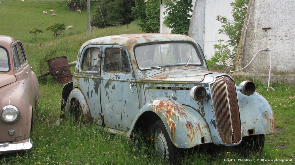
Alsylum Lodge Cars Collection |
Leaving Oamaru behind, we moved south down the east coast to Dunedin. There's nothing big along the way but there's lots that catches they eye. Can you doubt that we tried to see them all? If we hadn't been limited by an unchangable flight to an unchangable committment we might have stayed two weeks in this area to just enjoy the scenery. As it was, we rushed through the Moeraki Boulders and the Shag Point nature reserve to get to the Asylum Lodge before nightfall. Interesting yes, but still a disappointment. The Asylum Lodge is a backpackers that took over an old decommissioned mental asylum. It's main attractions to the younger crowd seemed to be the surf and riding lessons on offer; for us it was a bit too tacky to want to spend more than one night. So after a morning visit to the owner's extensive car collection we rushed off to the Otago Peninsula and Dunedin.
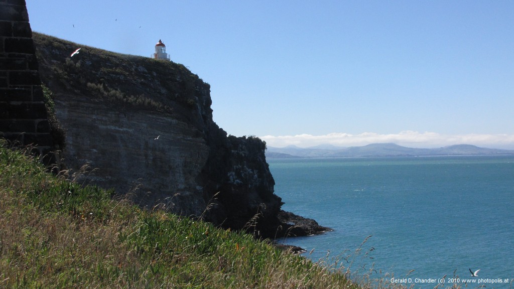
Taiaroa Head - The End of the Otago Penisula |
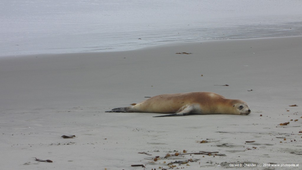
Long Beach Seal |
Before installing ourselves city-center in Dunedin, we took a couple of days to visit the Otago Peninsula, a wonderful promontory into the ocean with dramatic hills, stupendous sea views, and best of all a colony of albatross that we got to admire with craned necks and binoculars. http://en.wikipedia.org/wiki/Taiaroa_Head We were way out on the tip of the peninsula at Taiaroa_Head to see its albatross colony, when someone alerted us to the fact that our rear right tyre was flat! Happily, we had bought roadside emergency insurance and so in only a couple of hours, the AA man drove out from Dunedin and got us back on the road again with an undersized spare tyre -- the one thing we didn't verify when buying the car, of course!
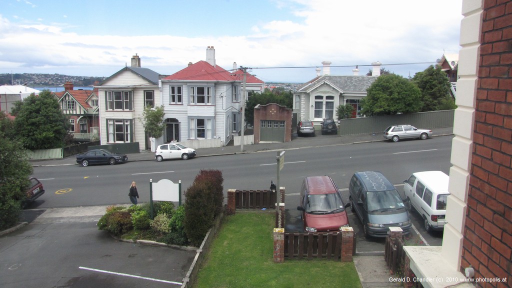
The View from Ramsey Lodge, Dunedin |
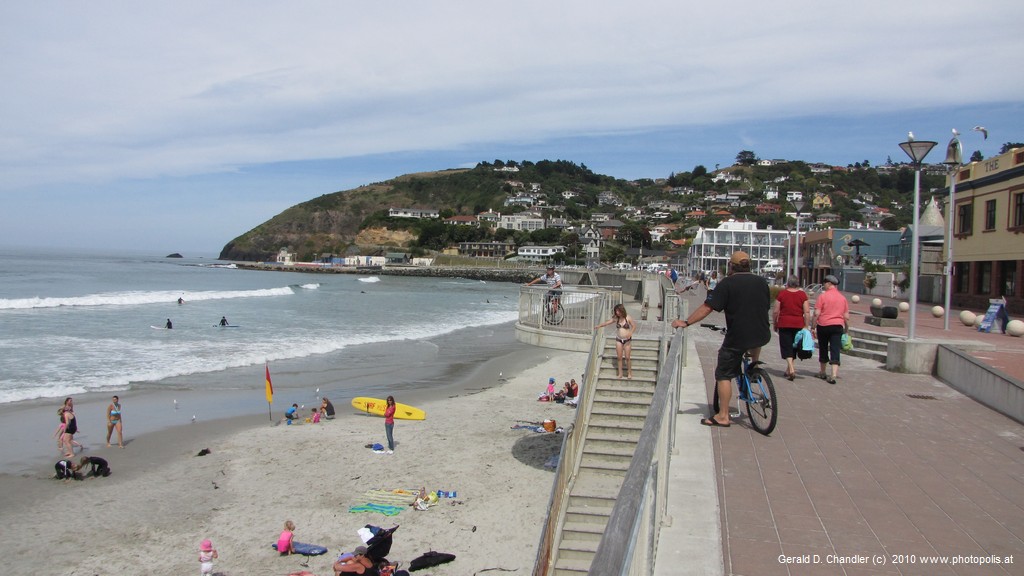
Dunedin St. Clair Beach |
Dunedin was our goal the next morning, and there it was we got the tyre fixed and remounted and thought our troubles were over. We stayed in Dunedin three days and that made it worthwhile to unpack and re-assemble our bikes and in spite of the hilly terrain, we had a couple of very nice rides, one to the Botanical Garden and one to the beach at St. Clair.