New | Contact | Site Map
Arizona | FotoShow | Photos | Map
Allen & Barbara
Heard Museum
Deer Valley
Casa Grande
Yuma
Old Towns
Indian Sites
Mongollon Rim
Petrified Forest
Painted Desert
Canyon de Chelly
Monument Valley
Navajo Monument
Glen Canyon
Grand Canyon
Flagstaff
Wupatki
Montezuma Castle
Oak Creek Canyon
Sedona
Tuzigoot
Tucson
Tubac
Tumacacori
San Xavier Bac
Organ Pipe NM
CactusTrails
Fujitsu Wars

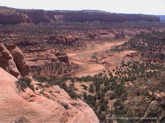
Navajo National Monument. |
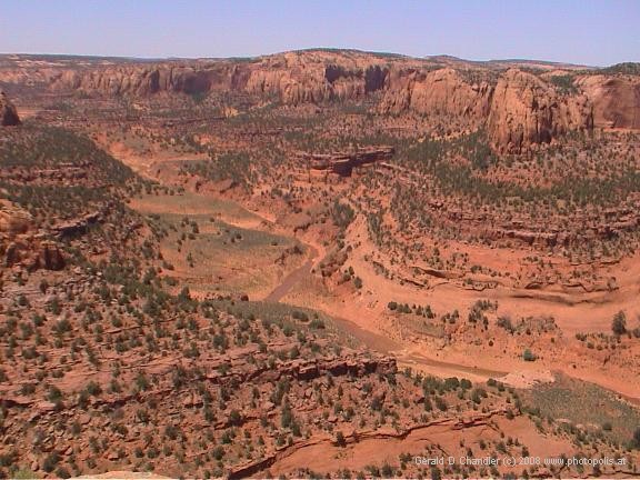
Having spent the night in the hell of Goldings campground in Monument Valley, we leave early in the morning to drive the 70 miles to Navajo National Monument. Not to be confused with the Navajo-run Monument Valley, Navajo National Monument is a park run by the National Park Service that encompasses a gorgeous valley (pictured above) in which one can hike to the remains of ancient Indian settlements.
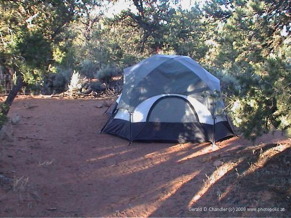
Our Campsite |
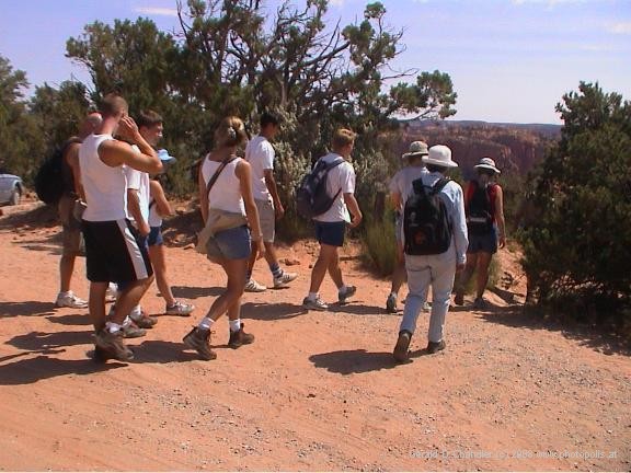
Navajo N.M. |
We choose a campsite but don't linger long over setting up our tent, however, because we have booked ourselves space on a walk to see the ruins of an Indian settlement at a place called Betatakin. We quickly pack a picnic lunch, grab some water bottles and drive back to the visitors center to fill our bottles and browse in the small museum until it is time to start the hike.
Hike to Betatakin Ruins
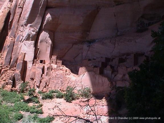
Betatakin Ruins view from across canyon |
The 11 a.m. tour to Betatakin ruins is a ranger-guided walk down into a big canyon and a mile along a kind of mesa, just above the canyon floor and then through a small forest to the canyon wall and then up the wall into the alcove where the ruins are located. The ranger is the wife of the park superintendent. She is 40-something, very fit, very enthusiastic, and on the whole a pretty good guide. The group is small, maybe a dozen people, all younger than us of course.
The hike down into the canyon gives us some fabulous views, but the guide sets a furious pace, which is a bit annoying for us as we would have preferred to take it a little slower, not for any reason other than to have time to appreciate the beauty of the surroundings. And just to get the peeves out of the way, our guide can't or won't wait for everyone to catch up with her before holding forth on the next topic. Consequently if you happen to be at the end of the group (and we often are), you always miss the first one or two sentences, which can make it pretty hard to understand. We are mollified, however, to learn that on the way back we could set our own pace (yippee!).
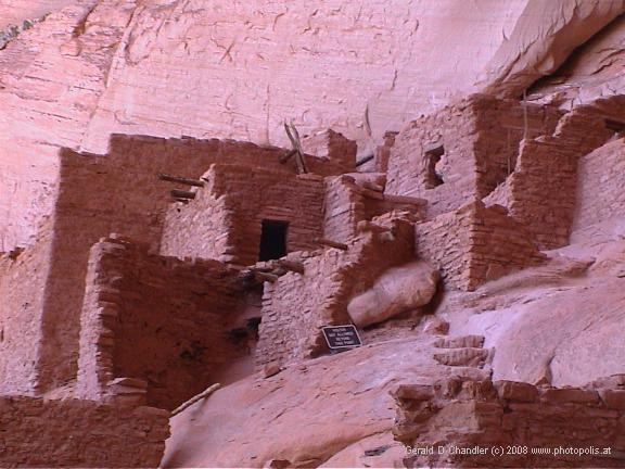
Betatakin |
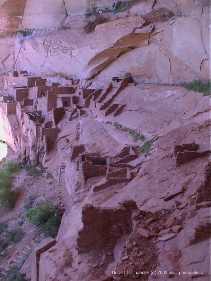
Betatakin |
The site of Betatakin is spectacular. It is set on a platform halfway up a cliff face in an enormous alcove of rock. The alcove protects the site from the sun in the hot summer months and from the rain year round. We were very happy to be allowed to climb up to the remains of the village and see the low walls left from homes built 700 years ago. Every site gives a slightly different explanation of the origin of the original residents. At this site they say that they are definitely Hopi ancestors, whereas normally a more general term is used like anasazi, or “ancient ones”, or “those who have gone” without specifying any ancestry. Other than in Cuarente Casas (40 houses) near Madera, Mexico, this is the only such site where we have been allowed to wander around (respectfully, of course). We spend about an hour at the site while the guide explains what is known about the site and shows us a small collection of petroglyphs as the pièce de résistance.
The site seems to offer protection not only from the elements, but also from surprise visits from any unwelcome strangers. The current theory, however, as to why the settlement was abandoned is more mundane than war. It is thought that the intensive agriculture the people practised on the valley floor was irrigated directly from the river. When the river cut its bed deeper and deeper into the valley floor, their fields were left high and dry and they did not have the technology to raise sufficient water to their fields to save them. When the crops failed, the people had to leave.
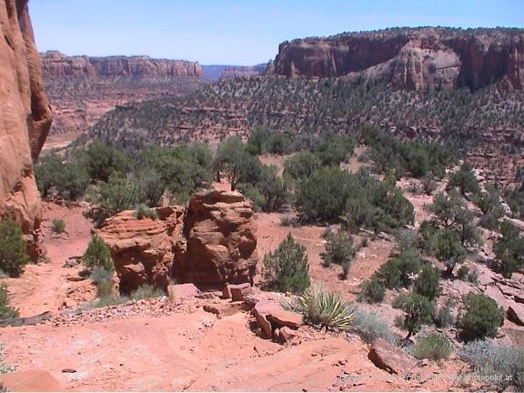
Back Country |
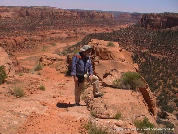
Back Country |
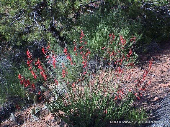
Back Country |
Back Country |
On the way back, we are happy to be the laggards and so let the others rush on ahead while we stop and admire the canyon. After about 20 minutes, we find a spot under a shady tree for our lunch and then on the climb back up out of the canyon we sit under a shady rock simply to admire the panoramic view of the main valley and its stream, which has water in it, partly perhaps because of the spring that runs out of the bottom of the Betatakin alcove. Jan has never been a fan of desert landscapes, but she is completely bowled over by this high desert valley. Greener than others, more vast than Canyon de Chelly, yet still of a scale that can be comprehended, she would probably build her house on the rim here if she could.
Betatakin Overlook
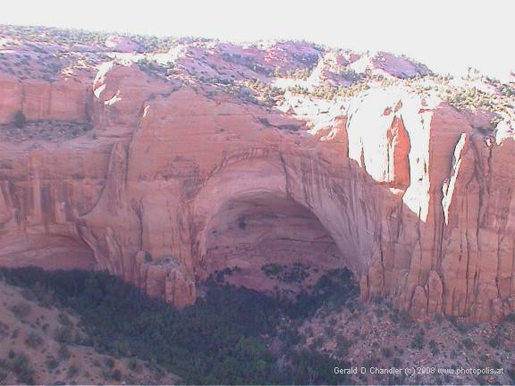
Betatakin Ruins view from across canyon |
We wander back to the visitor center and spend the afternoon reading and relaxing in the shade until at around 6 p.m. we head off to the Betatakin overlook, along a handicap-accessible trail half a mile from the visitor’s center. En route, we get side-tracked onto a trail 300 ft. down into the canyon to look at the relict forest. There we meet Keith, a protestant from Belfast, Northern Ireland, and spend an interesting half an hour discussing Northern Ireland politics with him. The most surprising statement was that he feels less safe now than earlier, because of the sword of Damocles hanging over the province that is constituted by the weapons that the IRA claims have been “put beyond use”.
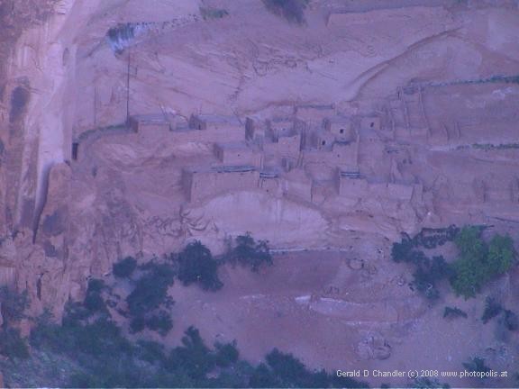
Betatakin Ruins view from across canyon |
But eventually, we say goodbye to Keith and finally make it to the overlook and are happy to have made the effort. Then it's back to our campsite, which turns out to be the best of our trip so far. We are camping on sand in the shade of pinyon trees and our site is elevated above the road, so we won’t be disturbed by the headlights of late arrivals. Once again, the campground is not full. All of our fears of summer crowds have been, thankfully, unfulfilled.