Home | Front Page | Index | Blog | New | Contact | Site Map
Arizona | FotoShow | Photos I | Photos II | Photos III | Map
Allen & Barbara
Heard Museum
Deer Valley
Casa Grande
Yuma
Old Towns
Indian Sites
Mongollon Rim
Petrified Forest
Painted Desert
Canyon de Chelly
Monument Valley
Navajo Monument
Glen Canyon
Grand Canyon
Flagstaff
Wupatki
Montezuma Castle
Oak Creek Canyon
Sedona
Tuzigoot
Tucson
Tubac
Tumacacori
San Xavier Bac
Organ Pipe NM
CactusTrails
Fujitsu Wars

Virginia
North Carolina
South Carolina
Georgia
Florida
Alabama
Mississippi
Louisiana
Texas
Arizona
California
Nevada
Index 1999-2002
Index 2003-2004
Index 2005-2006
Index 2007-2008
Index 2009-2011
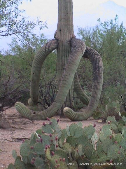
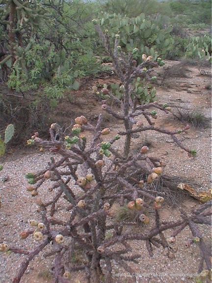
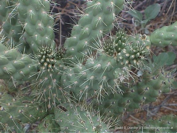
Ocotillo, Organ Pipe, Saguaro, Teddy Bear Cholla, Chain (jumping) Cholla, Prickly Pear Cactus, Beer Barrel Cactus, Fish-hook Cactus, Senita Cactus (??). Cactus Wren. Palo Verde, Iron Wood, Elephant Tree, Night Blooming Cereus. These are all names that we became familiar with during our stay in Tucson. Tucson is surrounded by a number of national monuments and recreation areas that are principally devoted to the worship of the cactus.
Saguaro NP East Cactus |
Saguaro NP East Cactus |
Not too surprising given that the Tucson area has a veritable wealth of the species, some of which are the only examples in the United States. Tucson, like most of southern Arizona is in the northern reaches of the Sonora desert which reaches down into Mexico. The Sonoran desert climate is not totally without rain, in fact it receives somewhere in the order of 12-14 inches each year. Not surprisingly some of that moisture falls in the winter months, in higher elevations in the form of snow. What may surprise you, it certainly did us, is that a good part of the rain that falls does so in the summer months of July and August. In Arizona, they refer to it as the monsoon, although it bears little resemblance to the Indian monsoon. Arizona summer rains are short and sharp and very localized (drenching one part of town, for example, while leaving another completely dry).
Saguaro NP East Cactus |
We first heard of the Arizona monsoon at a campfire talk in Canyon de Chelly National Monument. Jan had to ask for clarification to be sure that she had understood that the word meant summer rain in the desert. In late June and early July it seemed almost preposterous. Cloudless blue skies greeted us day after day accompanied, however, by ever-rising temperatures. In Monument Valley the temperatures were so warm that in our tent at night, even with all the windows and doors and roof vent open, there was scarcely a breath of air and the heat radiating up from the sand below kept us furnace-hot until almost dawn.
Until we got to Tucson, however, our Arizona travels had been more concerned with Indian ruins and water-carved canyons than monsoons and/or cacti. We had heard from Gerry's brother Allen and his wife Barbara, who had lived in Tucson for six years, that hiking in the parks around the city was terrific. Since the parks are largely organized so as to protect and preserve the native species of the region, principal among them cacti of various kinds, visiting the parks meant learning about cacti. At various times during our stay in Tucson, we visited Saguaro National Park, east and west, Sabino Canyon Recreation Area, and on our way from Tucson to Mexico, Organ Pipe Cactus National Monument. Each was memorable for a different reason.
Sunset in Saguaro NP East
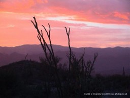
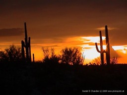
Saguaro National Park East, is almost an urban park, sitting just on the edge of the Tucson urban area. Because of its close proximity to the city, we made our only visit there late in the day, planning to drive around an 8-mile nature loop in the relative cool of the early evening. We use the term 'relative' advisedly. In the hour or two before and after sunset, temperatures of 100+ fall only to the mid-nineties! The saguaro cactus is of course the one that stands tall with its "hands" up, as if waiting to be arrested, that is used regularly to symbolize either the southwesterm US or northwestern Mexico.
Saguaro NP East |
Sunset Views |
Saguaro NP East |
The 8-mile loop took us almost two hours to complete because we frequently abandoned the car to stroll along a nature trail, or to admire a particularly admirable saguaro, or examine close-up a prickly-pear cactus fruit or ocotillo bush. The trail wanders through the bajada, a coarse alluvial slope, dipping down regularly to ford dry washes. Towards the end of the trail, it climbs up onto a low ridge that has views westward across the park to the city. Just as we got to this point, the sun started to dip toward the horizon. The panorama that resulted from the confluence of saguaro, sunset, and city was magical and made even more so by the lightning strikes that lit up various parts of the sky. We sat there for a good fifteen minutes, entranced with the beauty that nature had wrought. It ranked up there with the sunset we had seen from the train near Ayutthaya in Thailand. Truly memorable.
Birthday Hike in Saguaro NP West
We had intended to take a short hike on our first visit to the western portion of Saguaro National Park but changed our mind having frittered away the cooler morning hours in the air-conditioned park HQ. Instead of hiking, we drove on past the park to Kitt Peak observatory, at 7500 feet a much cooler place to spend the middle of the day. We have to say that after two weeks of record-high temperatures in Phoenix and Tucson, we thought we had arrived in paradise when we felt that mountain-top breeze!
Saguaro NP West |
Saguaro NP West |
While at the SNP visitor center we learned more about the Hugh-Norris trail to Wasson Peak that Gerry was eager to explore because it figured in his book about Arizona Geology. At just under ten-miles round-trip, it should only be attempted in the summer months by setting out early in the morning so as to get down before the worst of the day's heat. Having mulled it over for a while, Jan surprised Gerry by suggesting that we do the hike on her birthday. Jan isn't wont to get up early on her birthday, but the idea of sitting atop Wasson Peak seemed a fitting way to celebrate the occasion.
We didn't get started quite as early as intended, but by 7:15 we are on the trail.The air feels quite cool as we start up the trail even though we are in the early morning sun. A couple set off ten minutes or so before us and surprisingly we catch them after only half an hour or so. Jan is feeling very strong even though the trail climbs gently at first then rather steeply up to a ridge. Halfway up the switchbacks we have already left the other couple so far behind they are out of sight. Until we actually get to the ridge there is quite a bit of shade, which is nice. Then, when we get to the ridge we find that there are cool breezes that for the most part mitigate the heat of the sun.
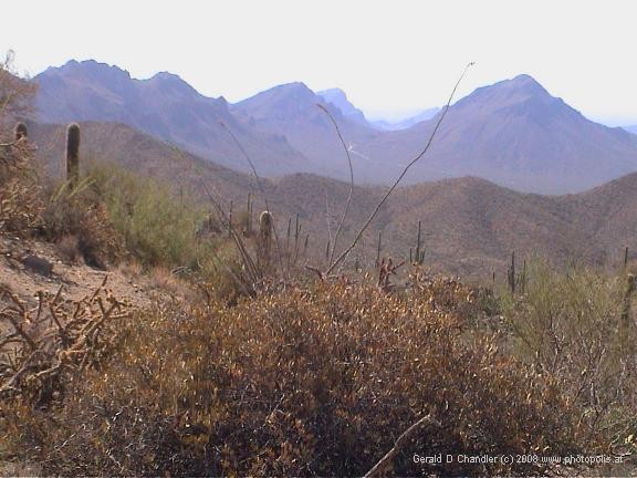
Saguaro NP West |
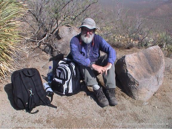
Sweaty Hiker |
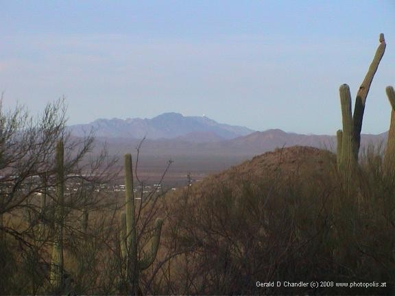
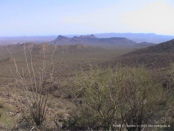
After an hour and forty minutes we are at the first trail junction which is marked as 2.7 miles from our starting point, so we are doing about two miles an hour, which is great for us. The climb is steady but not really steep, so although at one point Gerry is very out of breath, Jan feels that compared to our Yosemite Falls climb, this is easy. Of course we are quite a bit lower down here climbing from 2,000 to 4,500 rather than from 4,000 to 7,000. Gerry gets so out of breath that he has to sit down to recover so Jan takes the opportunity and takes some 360-degree shots of the landscape. Views are very good all the way and towards the end we are rewarded with views of part of the city and a very good view of Gates Pass Road which we used to travel from the city to the park.
We are both quite excited as we approach the summit. We stop to fill out the register then walk up the last twenty or thirty feet of elevation only to find ourselves in a thick cloud of midgies! Jan doesn’t even really get to the high point as the midgies are so annoying. We abandon plans to eat our picnic on the summit and instead walk down the trail until out of range of the bugs and find a sunny slope with a nice view and sit down to munch on fried chicken, bread, and fruit.
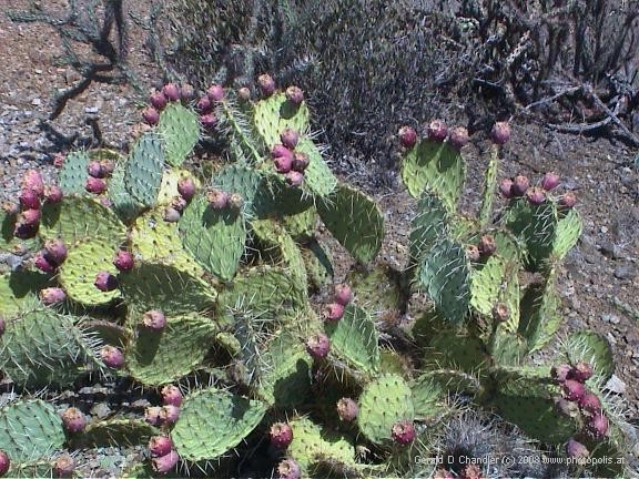
Saguaro NP West |
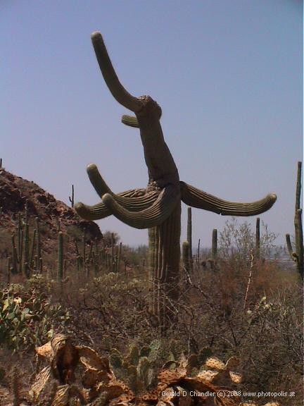
Saguaro NP West |
Walking downhill isn’t quite as comfortable as going uphill because of all the loose stones on the trail, but there is no breathing problem so Gerry takes more time out to take photos, especially of the dropped saguaro fruit that he found on the trail and that at first we thought was animal scat. We both are doing fine along the ridge as the breeze is still there to cool us down. But once we drop off the ridge, we notice the temperature start to climb and have trouble drinking enough to keep hydrated. Gerry in particular is sweating buckets. We have plenty of water, but alas it is, like everything, rather warm and so although it might hydrate us it doesn't help cool us down.

Restoration |
Also as we descend from the ridge into the trailhead valley, we remember the steps that we climbed on the way up and realize that they are going to make the descent quite uncomfortable, which is definitely the case. Steps were almost Jan's undoing when we hiked down from China's Yellow Mountain (Huangshan). Thankfully today's descent was much shorter. Nonetheless, coming down from a hike, you are always amazed that you managed to climb up so far and today is no exception. By the time we are halfway down into the valley, Jan is ready to be done with the hike. Her joints are starting to stiffen up a bit, especially at the groin, and the step motion is beginning to tire her knees. But we finally notice the switchbacks start to flatten out a bit and we face our last little climb up and around a bit of a knoll to make the final descent to the trail register and our car. It is 1:15 p.m., so including lunch we have done the 9.8-mile round trip in six hours. All that's left now is to drive to the visitor's center to raid their ice cold water fountain!
Shower in Sabino Canyon
Since our first visit to Tucson we have been aware of Sabino Canyon. Allen and Barbara Chandler used to live near there, and cousin Steve Kazen still does and we visited him in his home on our first visit to Tucson. Later, in Phoenix, we acquired our own piece of Sabino Canyon memorabilia when Allen gave us a water bottle bearing the Sabino Canyon name. As you can imagine, therefore, we were curious to get to know the famed Sabino Canyon Recreation Area for ourselves.
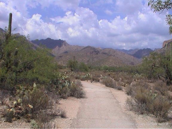
Saguaro NP West |
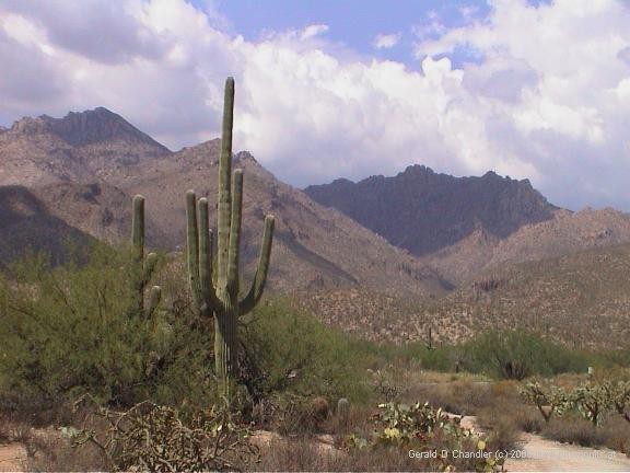
Saguaro NP West |
Originally, we expected to see Sabino Canyon as part of a longer excursion to Mount Lemmon, the high peak and ski resort for Tucson, but sadly summer fires had just devastated the area and the road to the peak was still closed. A litte disappointed we nevertheless resolved to see the Canyon and drove up there early one afternoon to explore. As is our wont, we spent at least an hour pottering around the Visitor Center, finding out what there was to do. Having consulted with one of the rangers we decided instead of taking a shuttle bus up the canyon to follow a triangular route directly from the visitor center that would take us up one side of the canyon and bring us down the other with a connecting piece of trail in the middle.
It was pretty hot when we set out, but we were armed with the usual half gallon or more of water each, which should be more than adequate for an hour or two of hiking which is all that we expected to do. Starting out, the trail paralleled the bus route for a few hundred yards then crossed the road and veered away from it. Finally we felt we were where we liked to be: alone in nature. It took us only half an hour to find our connecting trail but rather than immediately take it, instead we continued on up the canyon hoping to climb a little higher and get some views.
We had noticed with some relief the advent of clouds that blocked the direct heat of the sun and made our walking a little more comfortable. Imagine, however, our suprise when we started to feel raindrops. Gerry wanted to carry on regardless, Jan wanted to turn around at the first drop. We compromised and walked on a little further until the drops became more insistent. But by the time we got back to the trail junction, the rain had stopped and so we decided to carry on with our original plan and walk across the rattlesnake trail to the other side of the canyon. Our friendly ranger had mentioned to us the crossing of a creek but hadn't made clear that, as we soon found, the river in the creek was running and running too high to easily ford. That plan scotched, we decided to go back via the shuttle bus road, but to compensate for the missing section to first walk away from the visitor center to see what was to be seen.
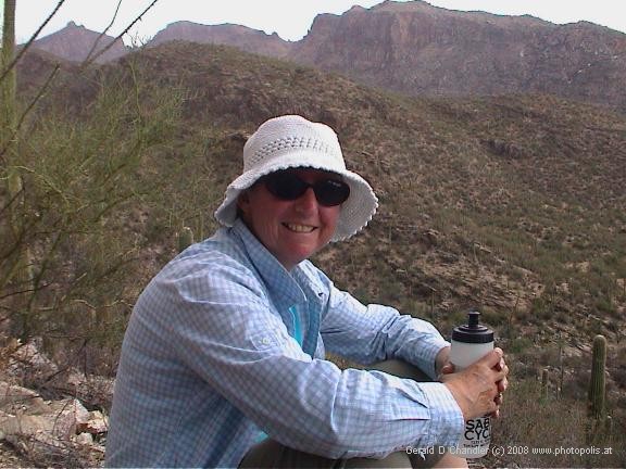
Saguaro NP West |
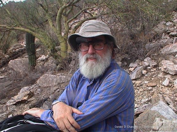
Saguaro NP West |
Not far up the road, we came to another obstacle. The road crossed a ford that again was covered with water that even our gore-tex boots wouldn't protect us from. Stumped, we sat down and ate a piece of fruit and then nonchalantly started our return trip down the road to the car. Before we finished our snack we felt the first couple of raindrops but weren't concerned given our experience earlier. After a hundred yards or so of walking, however, the drops became heavier and more frequent until, surprise, surprise, it felt like real rain. We still were not phased as the cooling rain removed the last vestige of the heat of the day and left us both refreshed. But the rain kept coming and coming and coming. Pretty soon we were both drenched in front, our rears being protected by our bodies. And now the refreshing coolness started to feel remarkably chilly as the wind drove the rain further and further into our clothing and boots. At this point, like a guardian angel, the shuttle bus appeared and kindly took pity on our plight, carrying us gratis the last half mile to our car. So finally we were convinced: It rains in the desert!
Bull Pasture and Estes Wash Canyon in OPNM
At one point, we considered visiting Organ Pipe National Monument while based in Tucson, but when we found out that it was 100 miles away, decided it would be better to stop there just before crossing the border into Mexico, five miles south of the park.
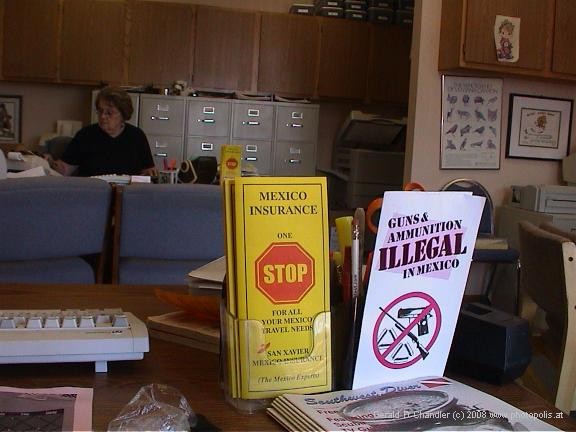
Preparing for Mexico |
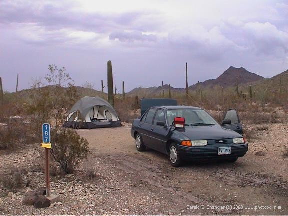
Organ Pipe NP Camping |
Our departure from Tucson was delayed a couple of hours trying to sort out a dunning letter from a hospital in Las Vegas. But by 10:30 we were on the road, and arrived at Organ Pipe just in time for a picnic lunch outside the visitor center. We arrived at the park fully expecting to spend the night in nearby Lukeville, on the U.S. side of the border, or Sonoyta, on the Mexican side. However, once we were there we check out the campsite and liked it enough (we were one of only two tents in the entire campsite that is set up mainly to cater to large RVs) that we plunked down our $10, pitched our tent, and spent the rest of the afternoon poking around the visitor center.
The next morning, we woke later than planned having been surprised overnight by lots of rain that kept us awake, pittering and pattering on our dome tent roof. Nonethelss, by 9:30 we had eaten breakfast, prepared our papers for crossing the border later in the day, packed the car, and were ready to drive the 21-mile loop to look at Organ Pipe cactuses. Organ Pipe cactuses are tall and thin, much like saguaros, but branch out from the bottom rather than half-way up and can have as many as a dozen branches that somebody thinks resemble organ pipes. Take a look at the phot and judge for yourself. Three-quarters of the way around the loop is the trailhead for the Bull Pasture and Estes Wash Canyon trails which we intended to climb. Being only 3.7 miles round-trip, we expected to run up and down in about two hours plus up to a half-hour for lunch at the top.
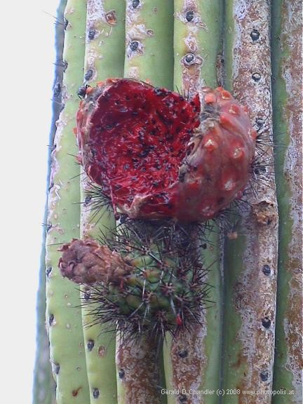
Organ Pipe NP Cactus |
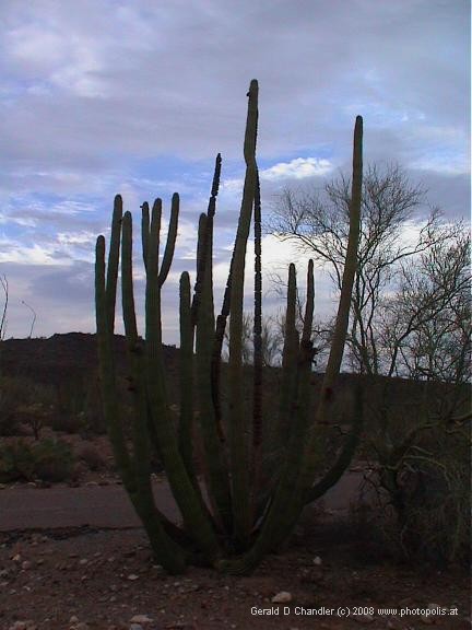
Organ Pipe NP Cactus |
We specifically chose to go out on the Bull Pasture trail which was a little shorter and a little steeper, so that coming back we wouldn't put too much pressure on those knee muscles. The first part of the trail was as advertized and in 45 minutes we were at the junction with the Estes Wash trail and according to the trail marker had just half a mile to go to get to the goal, Bull Pasture. The trail got steeper as we climbed higher, which is no surprise, but somehow that half mile of trail took us just as long as the first mile had taken us! But finally we arrived at the top and got magnificent views of the surrounding mountains (Ajo mountains, and even would you beleive Bates Mountains!). Gerry (let's go further) Chandler proved his manhood by climbing beyond the pasture to what looked like the local maximum, but was disappointed to find that it was a false peak masking a long ridge to the actual peak. He gave up on the endeavor and came back down to join Jan (this is far enough) Bates who has proved her womanhood by holding down a rock, and continue on down to the wash trail.
It's always more interesting to do a circular route on a hike, but it is on the other hand much more reassuring to come back along a known path and recognize landmarks noted on the way up. We opted for interesting and found ourselves wondering on the way down if we were on the right trail, because once down from the ridge, the wash trail refused to follow the wash, but instead criss-crossed it from one side of the valley to the other, seeming at one point to be heading back uphill. Our lack of faith was not warranted though and ultimately three hours after starting out we got back to the trailhead to enjoy a welcome orange and a handful of trail mix before exiting the park and yes, it's true, crossing the border into MEXICO! Hemos llegado!.